Solo traveler extraordinaire. Looking for vegan food.
Whidbey Island, Part 3: Deception Pass 6.25.22
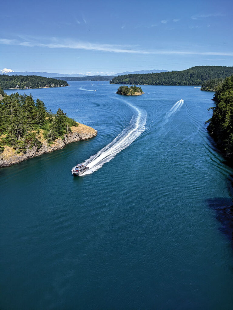
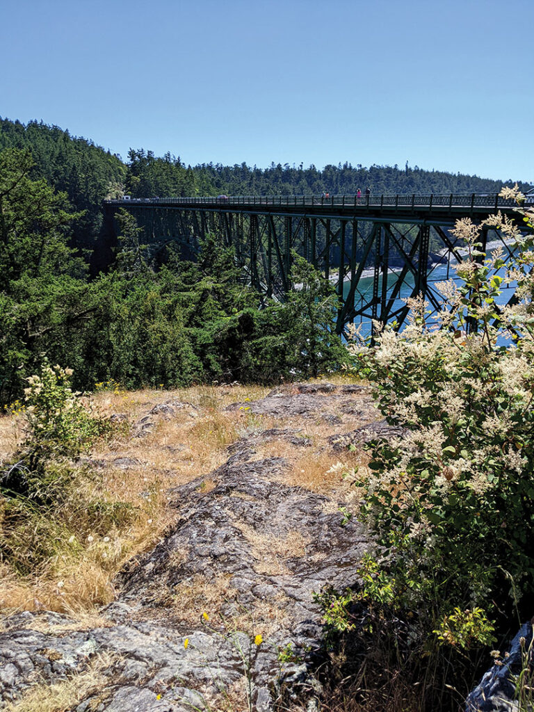
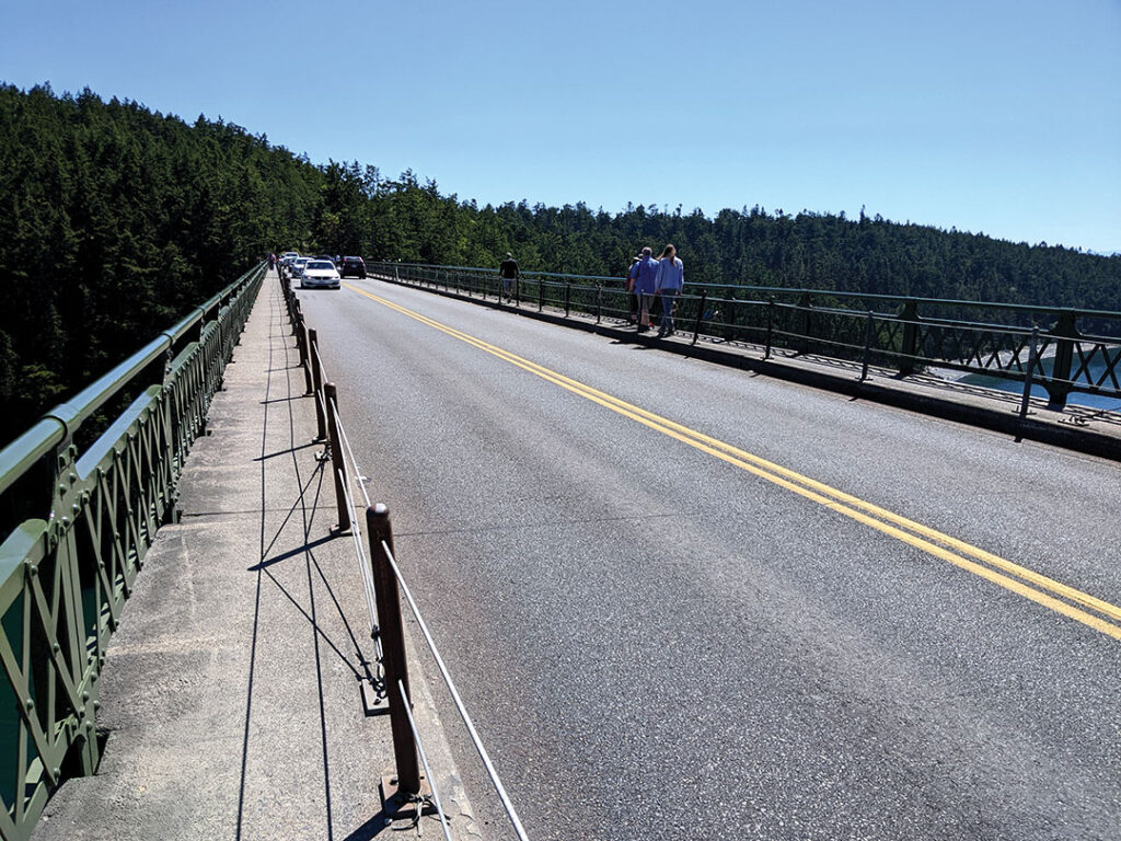
Deception Pass is just a bridge over a waterway, but it feels like more than the sum of its parts. It’s fairly high up so you can see forever, the sparkly water is an awesome blue-green color, and there’s a sidewalk on the auto bridge so you can walk out over the deepest part of the water.
In 1792 the British mapped the Deception Pass area with a crew on board the HMS Discovery.
I had trouble figuring out why it’s called Deception Pass. Different Wikipedia articles said the HMS Discovery party was deceived by the nature of 1) the peninsula (which was not actually a peninsula, it was an island), or 2) the bay (which was not actually a bay). The plaque at the site itself claims the deception was about the nature of the waterway.
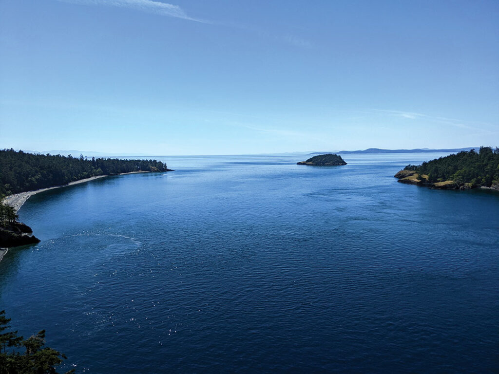
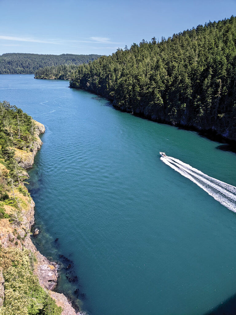
In 1935 Washington State completed a bridge from Whidbey Island, over tiny Pass Island, and on to Fidalgo Island. This is the view from Pass Island looking back to Whidbey Island.
Walking across the bridge!
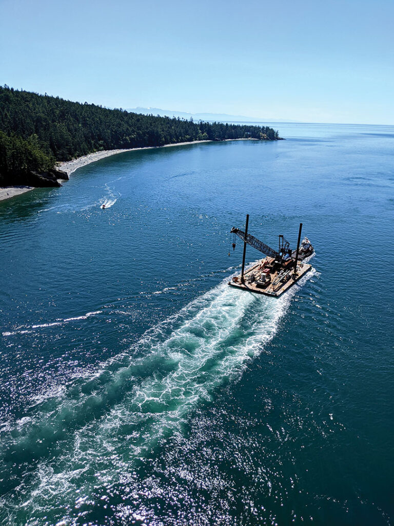
There were plenty of speed boats out in the beautiful weather. Since the pass is narrow, it acts as a water chute and can have a very swift current depending on what the tide is doing.
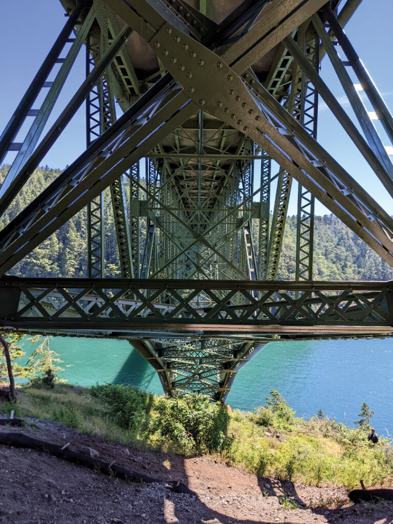
Rather than cross the highway, pedestrians go under the bridge to cross the street.